Freeways Flood,150K Lose Power As Gusty Storms Move Across Metro Detroit
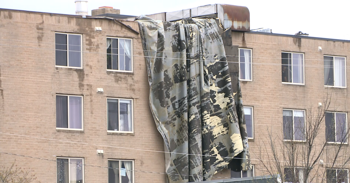
DETROIT (WWJ) - Flooding, high winds, lightening, power outages and downed wires and trees were reported in metro Detroit, as strong storms blew across the region.
A Severe Thunderstorm Warning was issued Tuesday for portions of Southeast Michigan, and a Flood Advisory was in effect for eastern Wasthenaw and Wayne County until 8 p.m.
[Check for the latest weather alerts HERE].
Local roads and freeways were in bad shape smack in the middle of the afternoon commute, according to WWJ Traffic Reporter Kevin Sanderson.
Westbound I-95 at I-75 was closed to traffic at 6 p.m.
"Lots of flooding, downed wires, downed trees, traffic lights out — it's a mess," Sanderson said.
Flooding was reported along I-75 in both directions at I-94 with the southbound side "especially bad," Sanderson said. That's where a jackknife semi was caught in flood waters there.
There was flooding in many spots along I-94 from Detroit's east side all the way through Midtown.
A WWJ traffic tipster reported that on Hines Drive, westbound near Inkster, there was a tree down, partially blocking the road. causing a traffic backup at 5:30 p.m. all the way Ford Road.
"Lots of traffic signals out, transformers blowing up; also wires down... So be careful," Sanderson said.
DTE Energy estimated around 150,000 homes and businesses were without power as of 5 p.m. — and that number was expected to grow. A spokeswoman for DTE said the outages were scattered all across Southeast Michigan. An outage map shows a major outage near Brighton where more than 3,000 customers were without power. More than 3,000 outages are reported near Merriman and Cherry Hill roads in Inkster-Westland area as well.
To report downed lines or a power outage to DTE, call 800-477-4747. You can make a report online or check the DTE outage map, HERE.

Huron Valley Ambulance, which dispatches fire department calls in Washtenaw County, said they were getting reports of downed power lines in Ann Arbor and Ypsilanti. Trained spotters report a 60-miles per hour wind gust near I-94 and State Street. There was a 50 miles per hour gust near U.S. 23 and Michigan Avenue.
A Livingston County Sheriff's department dispatcher said trees and lines were down "everywhere."
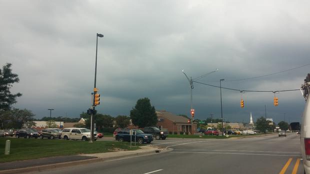
WWJ AccuWeather Meteorologist John Feerick said the line of storms was expected to push off to the east later in the evening, leaving partly cloudy skies overnight. The forecast for Wednesday looks a lot better, with partly cloudy skies and some sun, Feerick said. It'll be less humid, with a high around degrees.
Keep it tuned to WWJ Newsradio 950 for the latest storm information during traffic and weather, every 10 minutes on the 8s.
Sign up for severe weather text alerts: Text STORM to 95001
For daily weather forecast text alerts: Text FORECAST to 95001